KYLE HANSELMAN
Video Game Level Designer
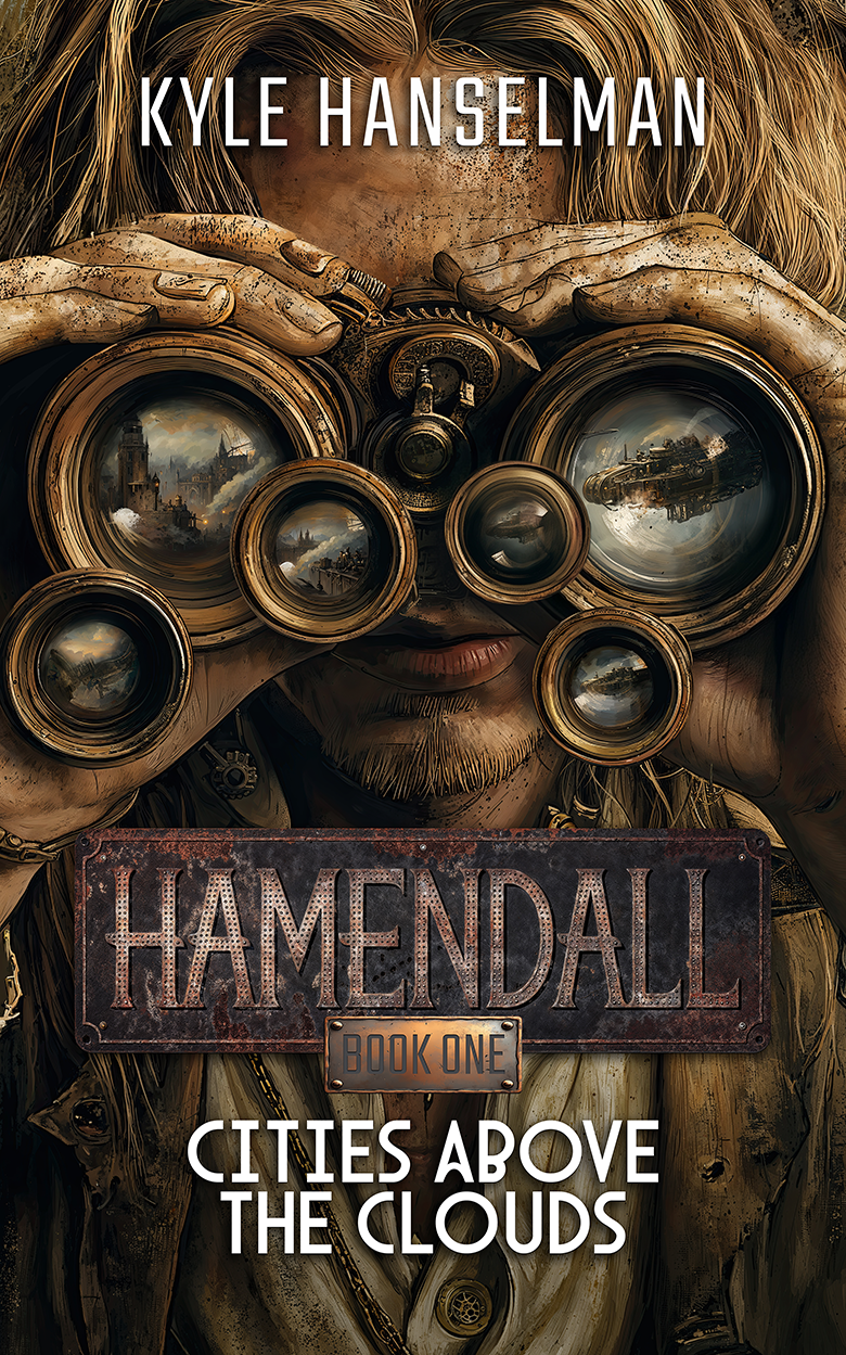
Big News! Hamendall Book One: Cities Above The Clouds Has Released!
Follow Mikayel Goenvelt as he finds himself thrust into a political mess far larger than himself. Join him through action and adventure as he tries to prove his innocence and discovers the connections of Skyworld run deeper than he ever imagined in this steampunk inspired post apocalypse novel!
Hamendall World Map
FINAL MAP

This is the final product of the process seen below. As a wasteland, Hamendall lacks the ecological diversity of other similar planets, like Earth, but maintains complex and interesting geography and climates. I'm pretty proud of the amount of detail I managed to pack into this map and even more proud of the worldbuilding it opened the door for.
ORIGINAL DRAWINGS
My first attempt at creating a map for Hamendall was to draw one by hand. This went reasonably well overall and I liked the shape of the landmasses I created. Unfortunately, this wasn't very flexible. When I moved the map into Photoshop, I struggled to make the necessary adjustments to accommodate lore changes. I needed a more powerful tool for this work. You will see I kept this general shape over time, but refined it significantly.
INKARNATE AND PLATE TECTONICS
I discovered Inkarnate thanks to some Pathfinder work I was also doing. This powerful tool gave me the freedom to focus on making a beautiful map instead of the tedium of layers and making my own art. I drew out my landmasses in roughly the same shape as the original with some modifications, such as a second continent. Then, I created a map for the plate tectonics to inform the rest of my geography, ensuring major features matched existing lore.
REFINING LAND AND CLIMATES
I began to refine the geography using the plate tectonics as reference. I decided where mountains would be, rivers would flow, lakes would pool, and so on. I added a huge amount of detail to the coasts with islands, believable erosion, and a continental shelf. Afterward, with the help of hours of research, I created a realistic ocean current map which informed the climate map. This detailed climate map has become invaluable to ongoing worldbuilding.
FINAL TOUCHES
With the landmasses and climates locked in, I got to work on my major features such as mountains. I then painted in my distinct climate zones, keeping the colors varied enough to be interesting, but subtle enough to maintain the old-world aesthetic I was going for. I double checked this against the plate tectonics to ensure it was all still feasible, then I finished out the map with detailed vegetation and atmospherics. I finally created custom city icons to match the world of Hamendall and placed them to finish the map off.
